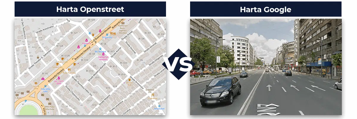
By upgrading Google Map, you can have a faster experience with a more detailed,precise map with a landscape, satellite, 3D view or Street View.
A faster loading of the maps
Compared to theOpenStreet map that is loaded from a local server, Google map is loaded from a global level, from the closest server in the region. This allows the visualisation of a complex infrastructure that is loaded faster and more efficiently, regardless of the device used.

Itinerary optimisation according to traffic
Google map offers the option of real time traffic visualisation, whereas OpenStreet only shows the basic elements.
You can adjust the itinerary accordingly, avoiding delays and intense traffic areas.

Satellite images of your interest points
You can now visualise your interest points through satellite images. They offer clearer details of the objectives, building and vegetation in the proximity of vehicles.

Visualise the map in 3D
You also have the possibility of visualising a 3D perspective of the areas in which the vehicles you own run their activity.
Compared to Google map, OpenStreet offers a simple perspective, without capturing valuable details.

Google Street view
Using the functions of ”Street View”, specific only to Google map, you can see various particularities of the road, parking lot or even no trespassing areas. Thus, you can check more carefully driver behaviour, their stops, their destinations and the routes chosen to reach them.
This function is available both in the web application as well as on Android smartphones.

Spot the road unevenness
By ticking the road visualisation option in Google map, you have access to a much more complex map that helps you identify the ground unevenness and better understand the covered routes. Based on this information, you can optimise and adapt the activity of the vehicles you send to work.

Request an upgrade to Google Map by e-mail at [email protected] or fill in the form.


